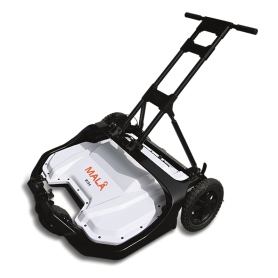
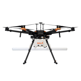
MALA GeoDrone 600, Airborne Ground Penetrating Radar
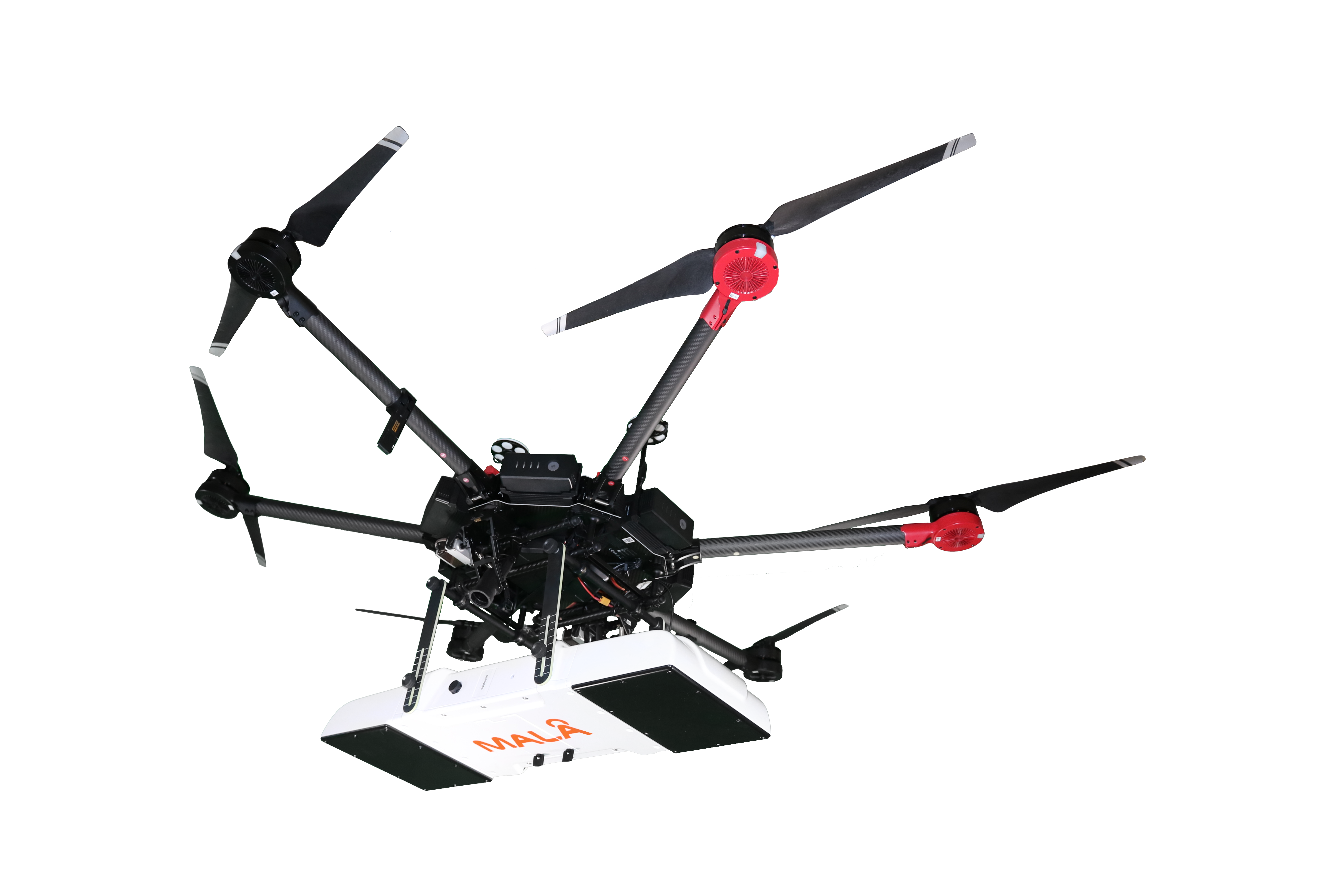
MALÅ GeoDrone 600 is the cutting-edge GPR solution for unmanned surveying in hard to reach and dangerous areas. It’s based on the latest Ground Penetrating Radar HDR technology by Guideline Geo. Drone is not included!
The MALÅ GeoDrone 600 is an Air-borne GPR unit for efficient field work, designed specifically for data collection in remote, hazardous and in-accessible areas. MALÅ GeoDrone 600 makes it possible to effectively collect GPR data in a variety of difficult environments, such as snow-covered ground, rocky and uneven terrain, across rivers and in avalanche-prone areas.

Typical application areas
The MALÅ GeoDrone 600 is a great solution for many types of airborne GPR surveys. It’s primarily suitable for:
- Smaller (<1 m) buried targets at less than 2-4 m depth in ground
- Layer detection down to 2-4 meters depth
- Bathymetry profiling (e.g. shallow river or lake bottom profiling)
- Depth to shallow bedrock
- Detection of smaller sinkholes
- Detection of smaller cavities (e.g. cavities in limestone areas)
- Shallow sedimentary structures
- Ice and snow profiling
Liability information
The purchaser must investigate and adhere to the current laws, regulations (e.g. ETSI, FCC) and any required permissions related to the use of airborne GPR in the relevant location of use. Guideline Geo accepts no responsibility nor liability in regards to the above.
FeaturesThe airborne GPR solution
|
 |
|
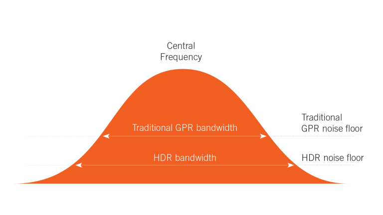 |
MALÅ HDR (High Dynamic Range) GPRThe MALÅ GeoDrone 80 has been designed to take full advantage of the MALÅ HDR technology, giving you the best possible GPR data quality, resolution and bandwidth . The MALÅ HDR, real-time sampling technology produces data with significantly lower noise levels, compared to traditional GPR systems. A lower noise floor gives a wider bandwidth when compared to conventional time-interleaved systems. This removes more of the background interference, giving sharper data with higher contrast, and the ability to see deeper than non-HDR systems. . . |
|
WEBINARS .. |
||
MALA GeoDroneThe webinar is dedicated to drone-based GPR. The content is based on a recently published article in the journal First Break. The presentation will provide an introduction to possibilities and challenges with airborne GPR measurements in general, but also look at a selection of projects where the MALÅ GeoDrone solution has successfully been used for different applications. |
||
MALA GeoDrone 80 & GPR-SLICEThis webinar is a brief introduction to the MALÅ GeoDrone 80 and the GPR principle, talks about possible application areas and followed by a run-through of the post-processing bathymetry data in GPR-SLICE and examples of output. |
||
GPR Survey through waterLearn about making Ground Penetrating Radar surveys over water and GPR theory, the considerations for survey design, instrument deployment and data processing when working on water and also show you some case studies. This short session covers the relevant parts of GPR theory, the considerations for survey design, instrument deployment and data processing when working on water, as well as a discussion of the limitations. The webinar will close with some case studies. . |
||
Ground Penetrating Radar, Airborne GPR
- Frequency (Hz)
- 80 MHz
- Interfaces
- Complies with IEEE802.11 b/g/n
DGPS (SBAS) - Power
- Rechargeable Internal Li-Ion Battery
- Dimensions (L x l x H)
- 580 x 1040 x 240 mm
- Weight
- 3.23 Kg incl. 2 batteries
- Operating time (h)
- min. 3 hours
1. The prices displayed on the site, including special offers, are valid only for the products in stock, within the available limit!
2. Customized products (eg cables cut to the required length) cannot be refunded and cannot be returned!
3. The images of the products presented on the site are for information purposes only and may differ from the real products!
4. Micronix Plus SRL reserves the right to change the prices and specifications of the products without prior notice.


![HIKMICRO G61, Handheld Thermography Camera (-20..650°C) Hikmikro G61, Handheld Thermography Camera [-20 .. 650°C]](https://www.meterland.ro/4757-home_default/hikmicro-g61-handheld-thermography-camera-20650c.jpg)
